Payloads
Equip your drone for the mission at hand
Switch payloads, not platforms.
Sony ILX-LR1
Optical Payloads
Optical RGB cameras with range of resolution to support different missions.
◘ Surveying & Mapping ◘ Inspection ◘ Photogrammetry ◘

High resolution optical camera with 35mm or 55mm lens, 61MP and 2x optical zoom. Gimbal mounted.
Sony a6400

Medium resolution optical camera with 16mm lens, 24.2MP, and 8x digital and 2x optical zoom. Nadir mounted.
Sony RX1R ii

Good resolution optical camera with 35mm lens, 42.4MP, and 8x digital and 2x optical zoom. Nadir mounted.
Optical Gas Imaging Payloads
Optical gas imaging (OGI) sensors provide real-time visualization of gas, such as for leak detection.
◘ Gas Leak Detection ◘ Gas Inspection ◘ Repair Confirmation ◘
Vision Aerial OGI Scout
High sensitivity gas detection sensor, fully integrated with MarkPoint in-field documentation and reporting software
Thermal & Visible Payloads
Combining Thermal + Visible (EO / IR) imagers into one sensor improves flexibility for situational awareness.
◘ Search & Rescue ◘ Inspection ◘ Surveillance ◘
FLIR Hadron 640R
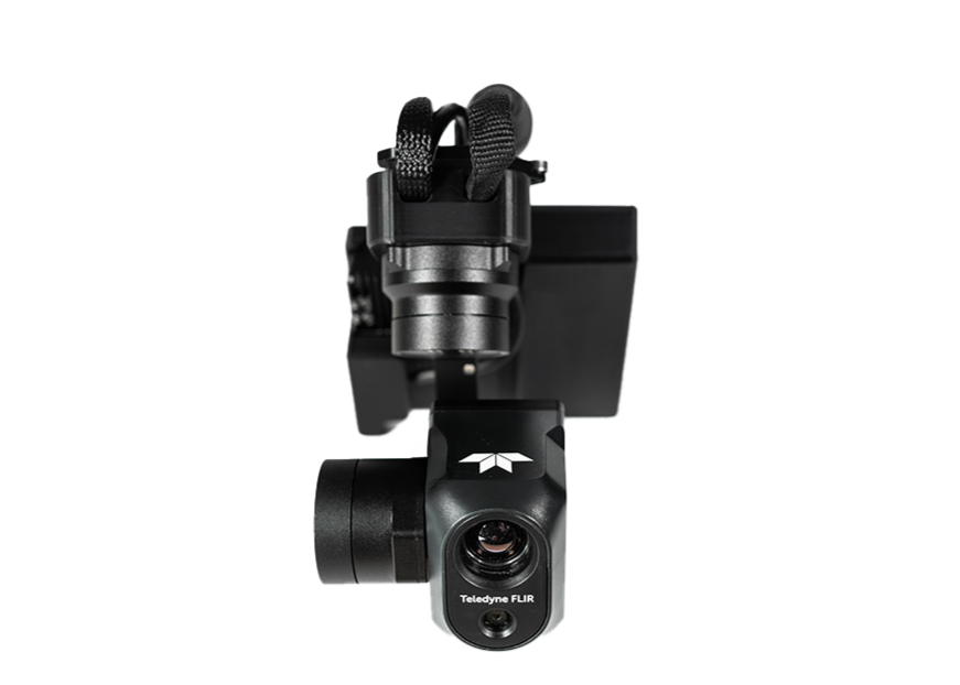
Dual thermal and visible sensor with high resolution and fully radiometric Boson thermal sensor. Ultra-lightweight for extended flying power.
Workswell Wiris Pro

Dual thermal and visible sensor with full HD resolution. LWIR thermal sensor with high sensitivity and wide temperature range.
Workswell Wiris Enterprise

Dual thermal and visible sensor with good resolution, 30x optical zoom and night vision, 1500m rangefinder and LWIR thermal sensor.
LiDAR Payloads
LiDAR (light detection and radar) cameras create high-density 3D point clouds, ready for GIS workflows and other mapping, surveying, or inspection uses.
◘ Surveying & Mapping ◘ Photogrammetry ◘ Digital Twins ◘
GeoCue TrueView 1

LiDAR system with a 26MP mapping camera, Hesai XT-32 dual return laser scanner and 640,000 points/s point rate. Includes a single base station, providing precise local data correction. Also comes with a one year LP360 Drone subscription.
GeoCue TrueView 1 Lite

LiDAR system with a FLIR 5MP global shutter camera with 80º FOV, Hesai XT-32 dual return laser scanner and 640,000 points/s point rate. Also comes with a one year LP360 Drone subscription.
Multispectral & Hyperspectral Payloads
Multispectral and hyperspectral imagers use broader ranges of wavelengths than RGB alone, making them ideal for crop, water, and other material insight from above.
◘ Precision Agriculture ◘ Vegetation Inspection ◘ Research ◘
MicaSense Altum-PT

Multispectral sensor, high resolution panchromatic sensor, and thermal sensor — all in one payload.
MicaSense RedEdge-P

Multispectral sensor plus panchromatic sensor.
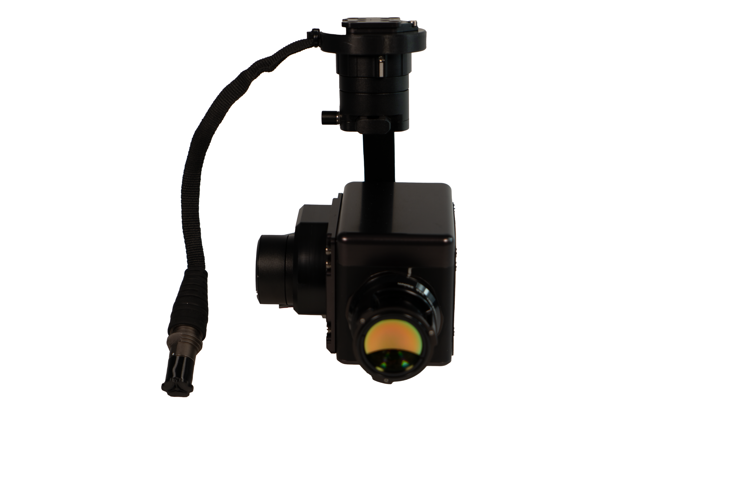
Resonon Pika L
Lightweight and compact hyperspectral imager capturing data in the Visible and Near-Infrared (VNIR) range (400-1000 nm).
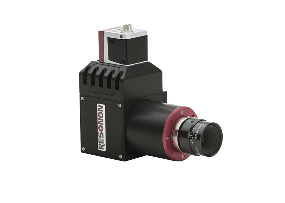
Resonon Pika IR-L

Lightweight hyperspectral imager capaturing data in the Near-Infrared (NIR) range (925-1700 nm) with 236 spectral channels and 320 spatial pixels.
Resonon Pika IR-L+
High spatial and resolution hyperspectral imager capaturing data in the Near-Infrared (NIR) range (925-1700 nm) with 470 spectral channels and 640 spatial pixels.
Meterological Payloads
Meterological payloads capture atmospheric data on the fly
◘ Atmospheric Measurements ◘ Research ◘ Storm Chasing ◘
Blue Halo WPV3

Multi-sensor atmospheric characterization payload, including a distributed temperature sensor, solar radiation sensor, an anomometer. This payload can capture data about wind, temperature, humidity, pressure, and irradiance.