Agriculture
Drone Solutions in
Action

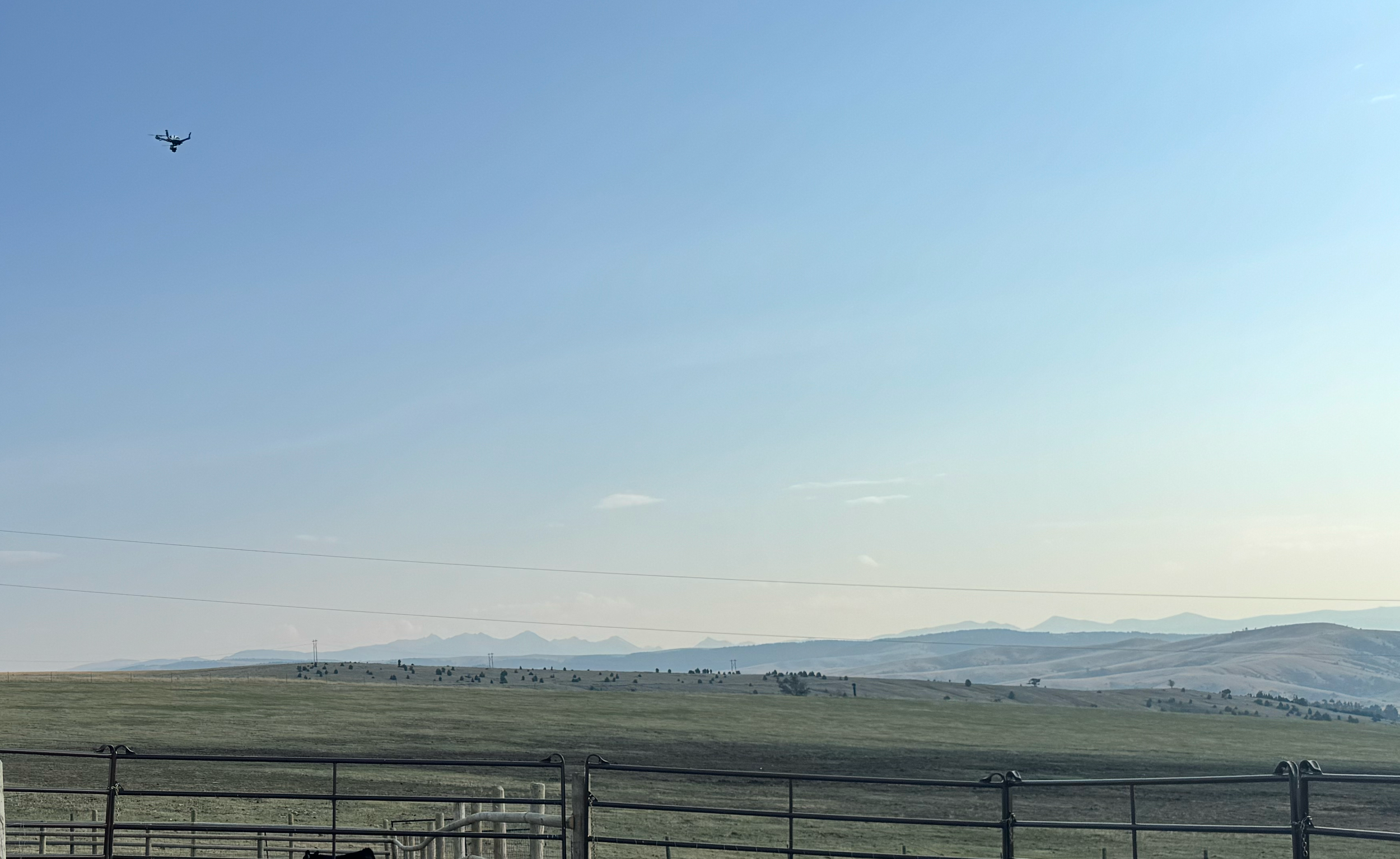
Vulcan SX + MicaSense RedEdge-P
Crop or Vegetation Health Monitoring
Identify stress, disease, or nutrient deficiencies early using multispectral or thermal sensors. Monitor trends over time and target interventions efficiently.
What should I fly?
Drone: Vulcan SX— Flight Deck includes all the tools needed to plan and execute a flight profile that ensures optimal coverage and data quality. You can also run the same profile repeatedly to ensure consistent documentation over time.
Payload: MicaSense RedEdge-P — Multispectral imaging can quickly identify disease or water stress before you can see it.
Alternative Payload:MicaSense Altum-PT— The Altum-PT is a multispectral sensor with the added thermal band, giving you additional insights into water management and irrigation performance, alongside detailed multispectral analysis.

Vulcan SC + MicaSense Altum-PT
Irrigation
& Water Assessment
Spot dry zones, leaks, or overwatering with thermal and multispectral imagery to conserve water, optimize yield, and proactively identify troublespots.
What should I fly?
Drone: Vulcan SX— Flight profiles let you pre-plan missions and execute them consistently every time. This creates comparison images for ongoing assessment.
Payload: MicaSense Altum-PT— The MicaSense Altum-PT integrates thermal, multispectral, and panchromatic sensors to provide high-resolution data for assessing vegetation health, water stress, and irrigation efficiency.
Alternative bundle: SwitchBlade-Elite + FLIR Hadron 640R — The Hadron 640R provides perfect dual thermal and visible sensors so you can get the best of both worlds with live thermal analysis and additional RGB data.
Vulcan SX + Hadron 640R
Livestock & Wildlife Monitoring
Use thermal-equipped drones to monitor herd distribution, behavior, and locate missing animals — especially in remote or rugged terrain.
What should I fly?
Drone: Vulcan SX— The long flight times of the Vulcan SX mean you can search and monitor over broad areas. Combine the already lengthy flight times with the Indefinite Flight Package, and your drone can probably search longer than you can.
Payload: FLIR Hadron 640R— One of the lightest dual sensor payloads on the market, the Hadron 640R allows you to switch, mid-flight, between thermal and visible sensors. This means you can use thermal to quickly locate a herd or animal, and then switch to visible to get a better overall situational assessment.
Other Use Cases
Whether delivering decision-ready data, reducing manual labor, or unlocking more value per acre, you can get the most out of your agriculture drone solution when you leverage the versatility and adaptability of your agriculture drone.
Precision input application planning: Map variability across fields to guide precision spraying, seeding, or fertilization, reducing waste and environmental impact.
Recommended bundle: Vulcan SX + FLIR Hadron 640R or Sony ILX-LR1, or Vector + GeoCue TV 1
Post-disaster crop assessment: After hail, drought, or flooding, assess field damage faster for insurance, recovery, or replanting decisions.
Recommended bundle: SwitchBlade-Elite + Sony ILX-LR1
Research & diagnostics: Use a steady drone to capture the great data that’s required for advanced research.
Recommended bundle: Vector + Resonon Pika-L
Precision terrain mapping: Plan crops, map obstacles, and identify rocks … there are many use cases for a high resolution camera and photogrammetry software.
Recommended bundle: Vulcan SX + Sony ILX-LR1 + Pix4D
"[Aerial-collected hyperspectral data] enabled remote, early detection without the risk of spreading the virus through field contact."
- Precision agriculture researchers -
Why do you need Vision Aerial
in your Agriculture Drone Toolbox
Built to work.
When you need precision – we’ve got you. When you need power – we’ve got you, still.
Portable.
If you have one than one field to fly, you need easy — easy to carry, easy to set up, easy to fly, easy to take down.
Versatile.
One payload can’t do it all, so make sure your drone can carry all the tools you need. And don’t forget field swapping.
No nonsense support.
Stuff happens. The Vision Aerial Service team is there when you need them. Every time.
FAQ
How can drones help reduce costs on my farm?
Drones reduce labor costs, fuel use, and scouting time by providing fast, automated insights into crop health, moisture, and pests—all in a single flight.
Do I need a license to fly drones on my farm?
Yes. The FAA requires a Part 107 certification for commercial drone operations, including agricultural work.
Can I use the drone data with my existing farm management software?
Yes. Data captured by our drones integrates with most ag software platforms like John Deere Ops Center, Trimble Ag, and SMS.
What is the range and battery life of your drones for large-acreage farms?
Typical flight time ranges from 30–45 minutes per battery, depending on payload. The Indefinite Flight Package enables continuous flight for covering 500+ acres per day.
What crops is this technology most useful for?
Common applications include corn, soybeans, vineyards, orchards, and specialty crops—anywhere health, yield, or irrigation variability matter.