Browse by Tags
- AEC drones
- Advancing Skills
- Aerial Mapping
- Aerial Mapping Drones
- Agriculture
- American drone manufacturer
- Awards
- Black Herelink
- Blue Herelink
- Case Studies
- Construction Drones
- CubePilot
- Drone Design
- Drone payload mounting options
- Events
- Firefighting
- GSD
- Gas Detection
- GeoCue TV 1 Lite
- Getting Started
- Hadron 640R
- Haul Road Analysis
- Herelink
- Herelink Tablet Mount
- Hyperspectral Payloads
- Industry News
- Inspection
- Inspection Drones
- Mapping
- MarkPoint
- Meda Coverage
- Media Coverage
- Methane Detection
- Mining
- News
- OGI Payloads
- OGI Scout
- Oil & Gas
- Optical Gas Imaging
- Orthomosaics
- Part 107
- Partnership
- Photogrammetry
- Pix4D
- Plant Disease Detection
- Press Release
- Processing Software
- Promotions
- Public Safety
- QGC

When the Job Gets Dirty: Aerial Inspections That Work in the Real World
Whether it’s infrastructure, utilities, or AEC projects, inspections are the backbone of operational safety. Learn how the right drone turns inspection from a reactive task into proactive maintenance.

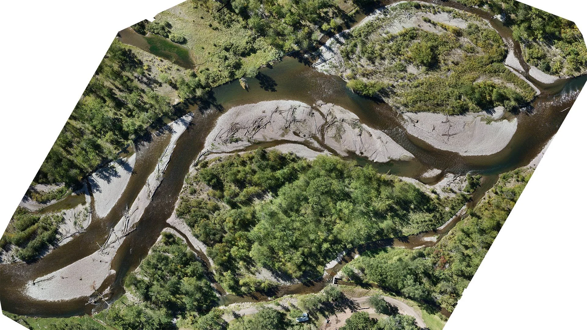
From Orthomosaics to Action: What Image Quality Really Means in the Field
Discover how high-quality images can elevate your business, building trust and setting you apart from the competition.

Unlocking Field Mapping Potential with UAVs and Photogrammetry
Aerial mapping with high performance cameras and photogrammetry software are improving field mapping for agriculture
How to Choose the Best Camera for Photogrammetry
To capture high-quality aerial images, it is essential to choose the best camera for photogrammetry. This article covers key factors to consider when selecting a camera for aerial photogrammetry.