Browse by Tags
- AEC drones
- Advancing Skills
- Aerial Mapping
- Aerial Mapping Drones
- Agriculture
- American drone manufacturer
- Awards
- Black Herelink
- Blue Herelink
- Case Studies
- Construction Drones
- CubePilot
- Drone payload mounting options
- Events
- Firefighting
- GSD
- Gas Detection
- GeoCue TV 1 Lite
- Getting Started
- Hadron 640R
- Haul Road Analysis
- Herelink
- Herelink Tablet Mount
- Hyperspectral Payloads
- Industry News
- Inspection
- Inspection Drones
- Mapping
- MarkPoint
- Meda Coverage
- Media Coverage
- Methane Detection
- Mining
- News
- OGI Payloads
- OGI Scout
- Oil & Gas
- Optical Gas Imaging
- Orthomosaics
- Part 107
- Partnership
- Photogrammetry
- Pix4D
- Plant Disease Detection
- Press Release
- Processing Software
- Promotions
- Public Safety
- QGC
- QGround Control
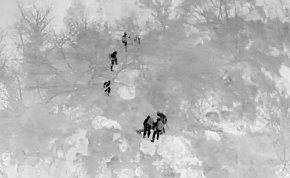
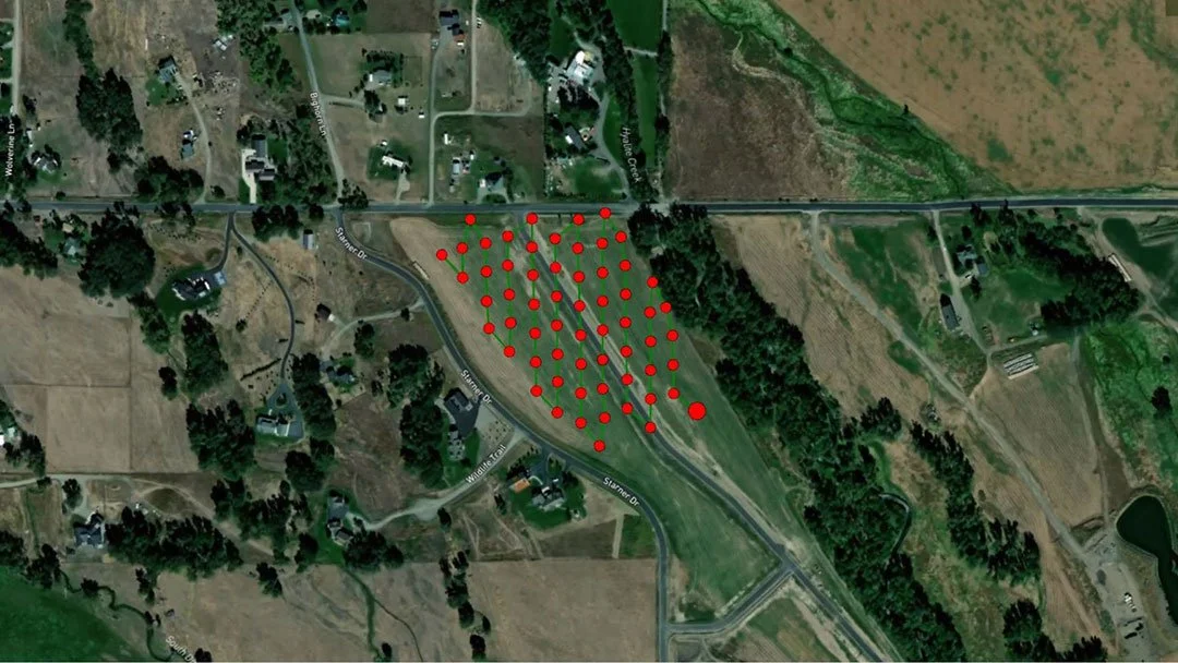
How to Use Drones for Search and Rescue
Search and rescue drones are becoming popular tools for public safety teams. Some advantages they have over other methods include quick deployment, lower costs, better image resolution, improved situational awareness, and payload versatility. These are all beneficial to finding subjects quickly and increasing survival rates.
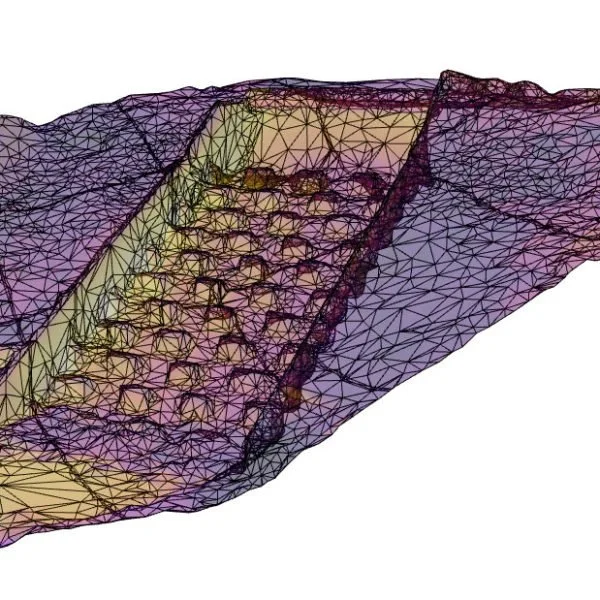
Surveying Drones: How to Use Drones for Surveying
Surveying drones can produce highly accurate topographic data faster, safer and at lower costs than a traditional land survey. This article will go into detail about how drones are used for surveying.
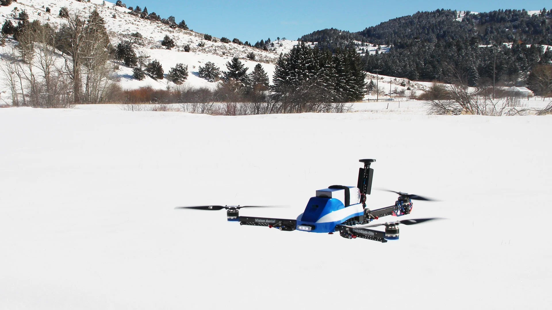
Benefits of a Tri-Rotor Drone
The engineers at Vision Aerial have determined that a tri-rotor drone design is more efficient and easier to fly than a quadcopter. Here's why.

5 Reasons Why You Should Use Drones for Inspections
Choosing the Best Drone for Search and Rescue
Looking for the best drone for search and rescue? Read our comprehensive guide on factors to consider when selecting a drone.
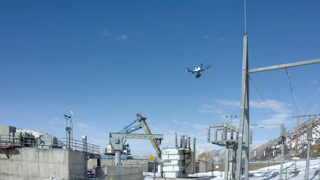
Are Drones the Future of Infrastructure Inspection?
Vision Aerial drones are great for many aerial mapping use cases — from AEC mapping to utilities mapping to border containment mapping.
Are Drones Good for Aerial Mapping?
Vision Aerial drones and are great for several aerial mapping use cases including