Browse by Tags
- AEC drones
- Advancing Skills
- Aerial Mapping
- Aerial Mapping Drones
- Agriculture
- American drone manufacturer
- Awards
- Black Herelink
- Blue Herelink
- Case Studies
- Construction Drones
- CubePilot
- Drone payload mounting options
- Events
- Firefighting
- GSD
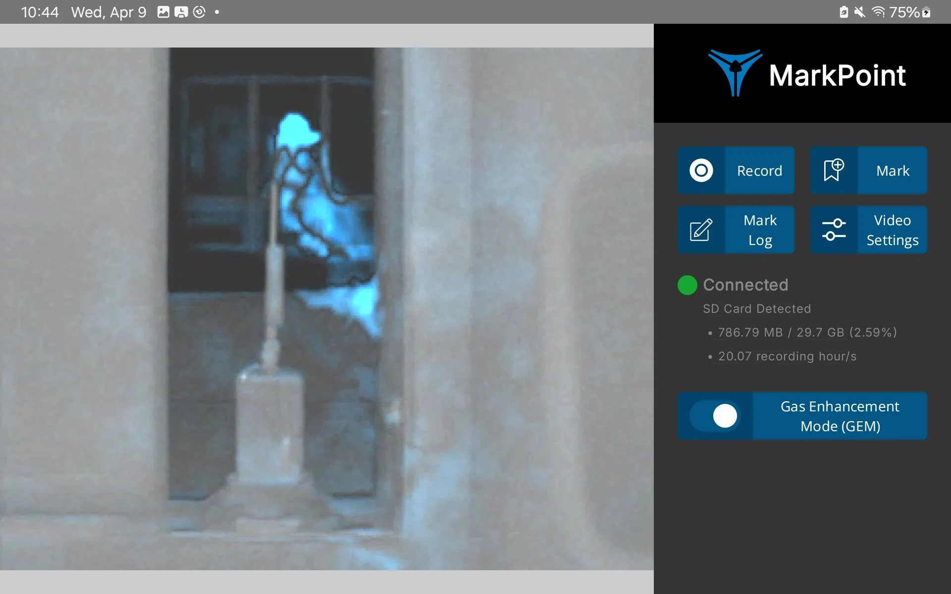
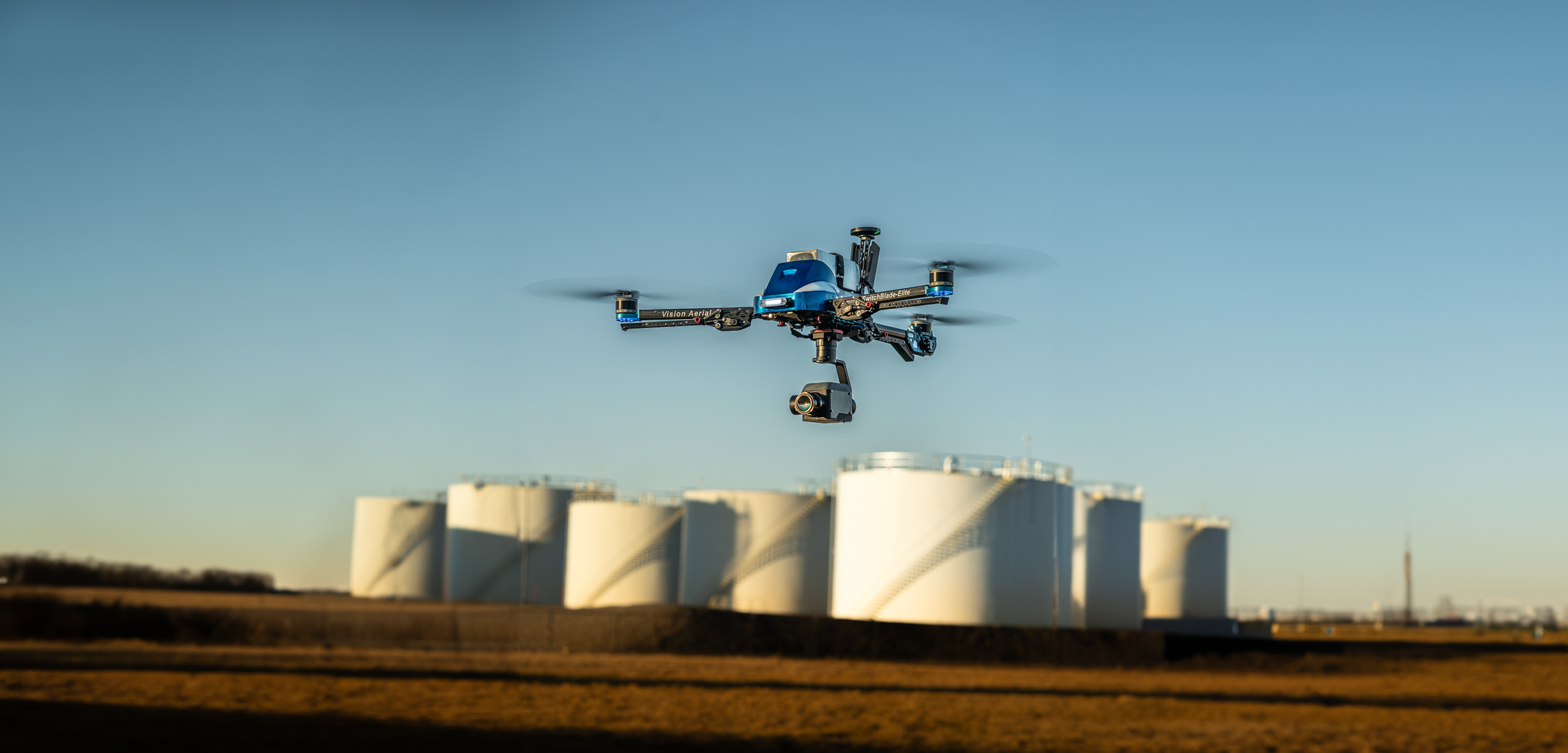
- Gas Detection
- Getting Started
- Hadron 640R
- Haul Road Analysis
- Herelink
- Herelink Tablet Mount
- Hyperspectral Payloads
- Industry News
- Inspection
- Inspection Drones
- Mapping
- MarkPoint
- Meda Coverage
- Media Coverage
- Methane Detection
- Mining
- News
- OGI Payloads
- OGI Scout
- Oil & Gas
- Optical Gas Imaging
- Part 107
- Partnership
- Photogrammetry
- Pix4D
- Plant Disease Detection
- Press Release
- Processing Software
- Public Safety
- QGC
- QGround Control
- RTK
- Research
- SAR
Gas Leak Detection Drone: Uncover Hidden Gas Leaks with Advanced Drone Technology
OGI: Methane Detection and UAVs Intersect with Innovation

Innovating Agriculture with Aerial Hyperspectral Imaging

Unlocking Field Mapping Potential with UAVs and Photogrammetry
Aerial mapping with high performance cameras and photogrammetry software are improving field mapping for agriculture
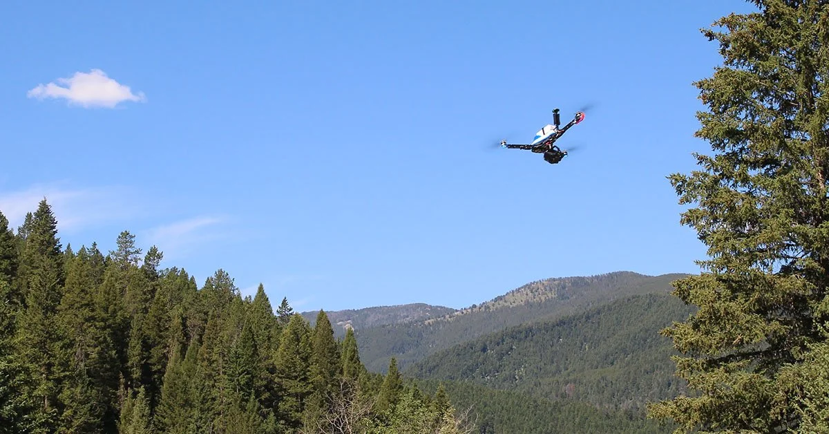
Search & Rescue Drones, Elevated
In search & rescue operations, minutes matter. Adding a great search & rescue drone solution to your SAR mission can be a game-changer
Successful Drone Search and Rescue Missions
Drones for search and rescue have become increasingly popular due to their ability to cover large areas quickly, access hard-to-reach locations, and provide real-time information to rescue teams. Here are some real-world examples of successful drone search and rescue missions that resulted in saved lives.

Understanding the American Security Drone Act (ASDA) and Its Impact on Drone Purchases

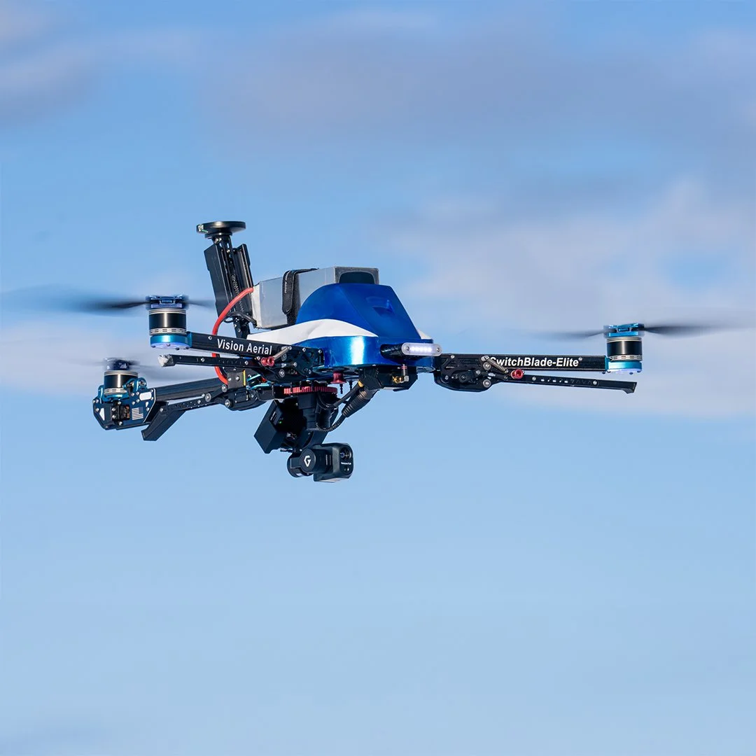
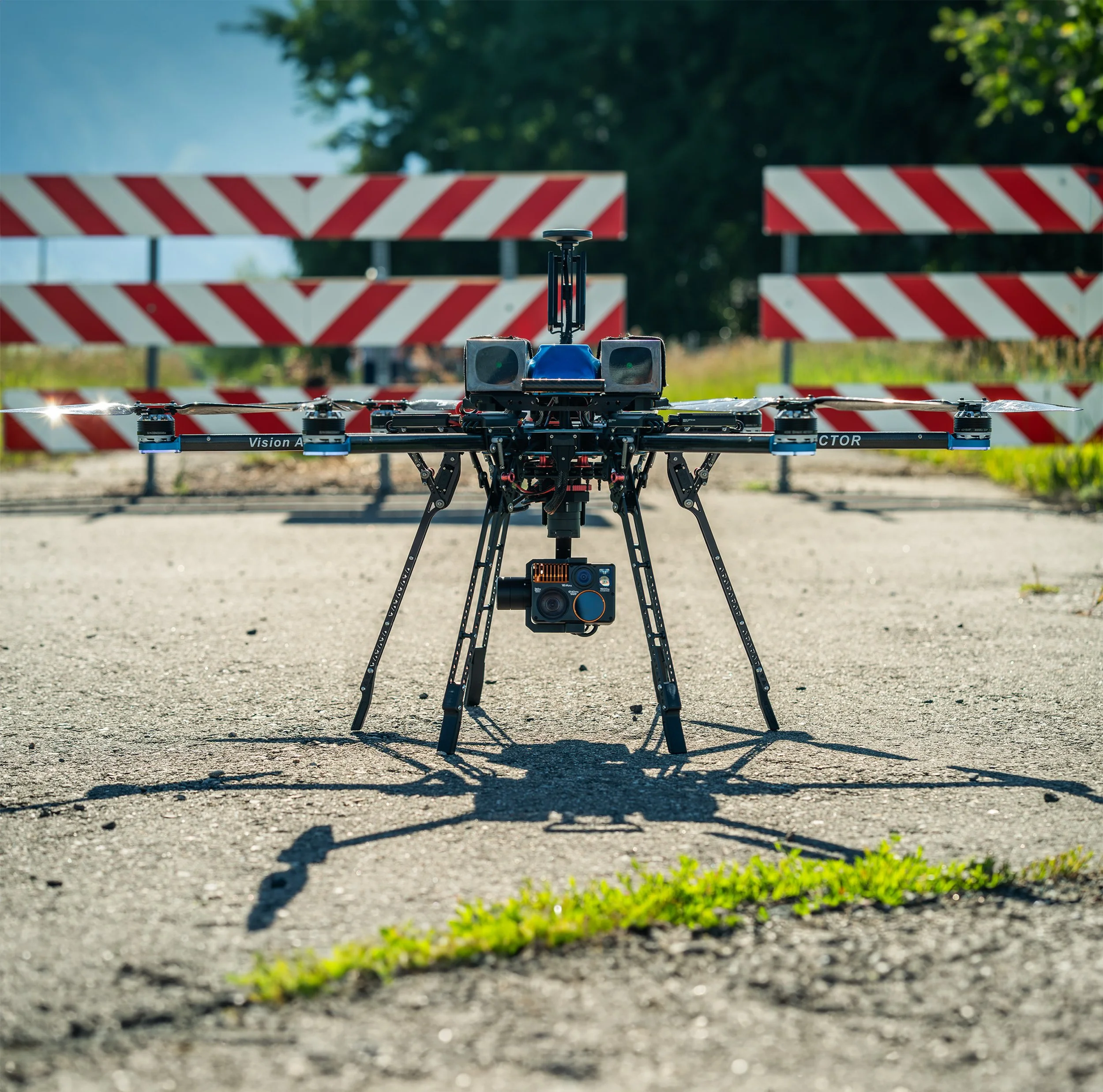
Hyperspectral with Vision Aerial UAS
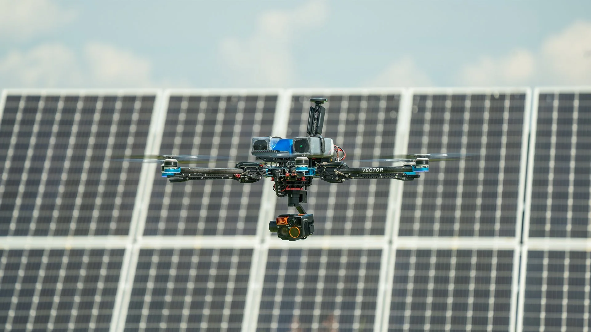
Solar Field Performance