Browse by Tags
- AEC drones
- Advancing Skills
- Aerial Mapping
- Aerial Mapping Drones
- Agriculture
- American drone manufacturer
- Awards
- Black Herelink
- Blue Herelink
- Case Studies
- Construction Drones
- CubePilot
- Drone payload mounting options
- Events
- Firefighting
- GSD
- Gas Detection
- Getting Started
- Hadron 640R
- Haul Road Analysis
- Herelink
- Herelink Tablet Mount
- Hyperspectral Payloads
- Industry News
- Inspection
- Inspection Drones
- Mapping
- MarkPoint
- Meda Coverage
- Media Coverage
- Methane Detection
- Mining
- News
- OGI Payloads
- OGI Scout
- Oil & Gas
- Optical Gas Imaging
- Part 107
- Partnership
- Photogrammetry
- Pix4D
- Plant Disease Detection
- Press Release
- Processing Software
- Public Safety
- QGC
- QGround Control
- RTK
- Research
- SAR
LDAR Compliance Guide

Understanding the American Security Drone Act (ASDA) and Its Impact on Drone Purchases
Solar Field Performance
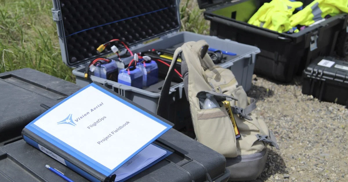
How to Start a Drone Program at Your Organization
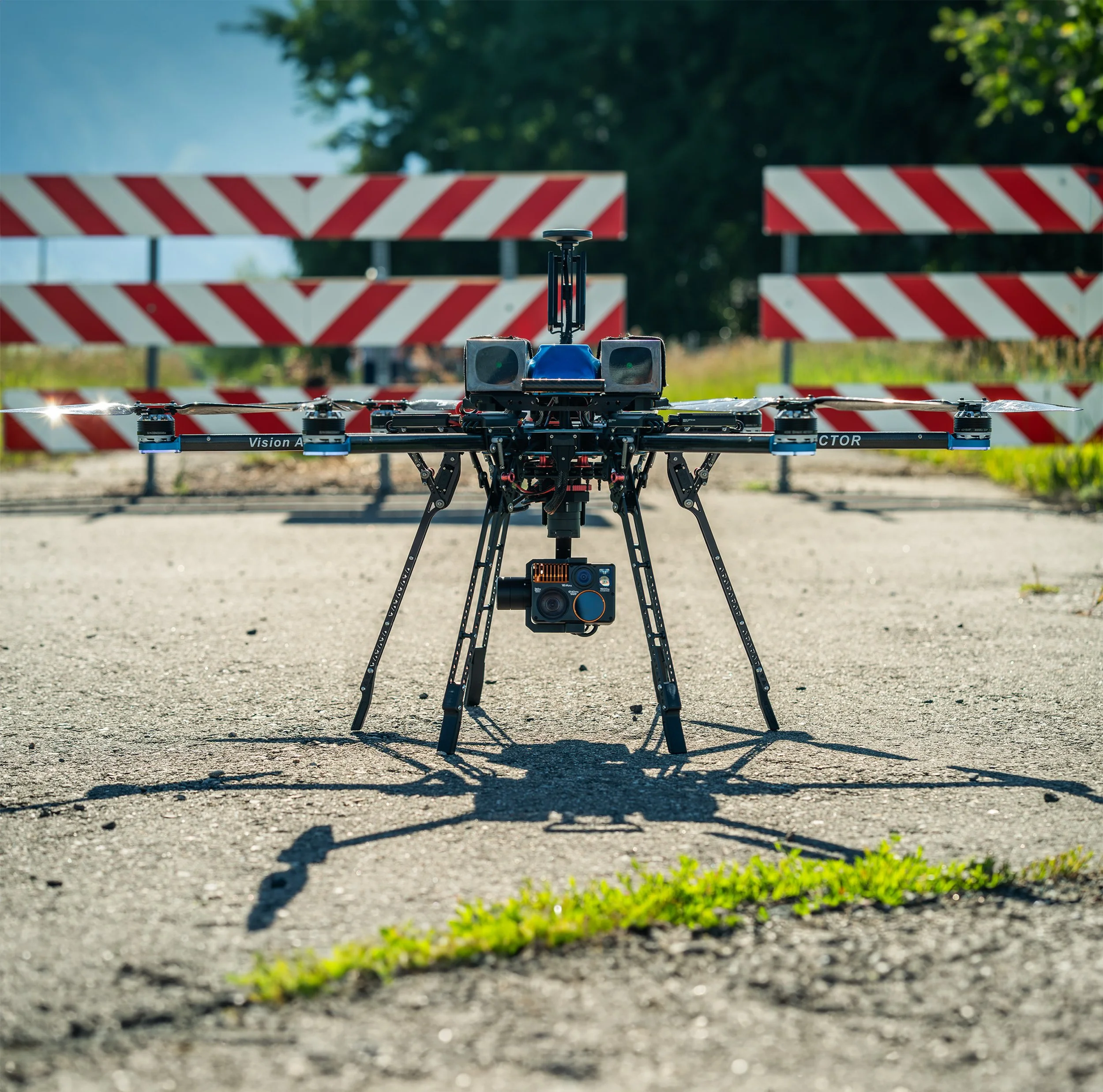
How to Choose the Best Camera for Photogrammetry
To capture high-quality aerial images, it is essential to choose the best camera for photogrammetry. This article covers key factors to consider when selecting a camera for aerial photogrammetry.
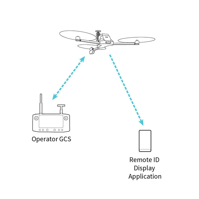
What is Remote ID?
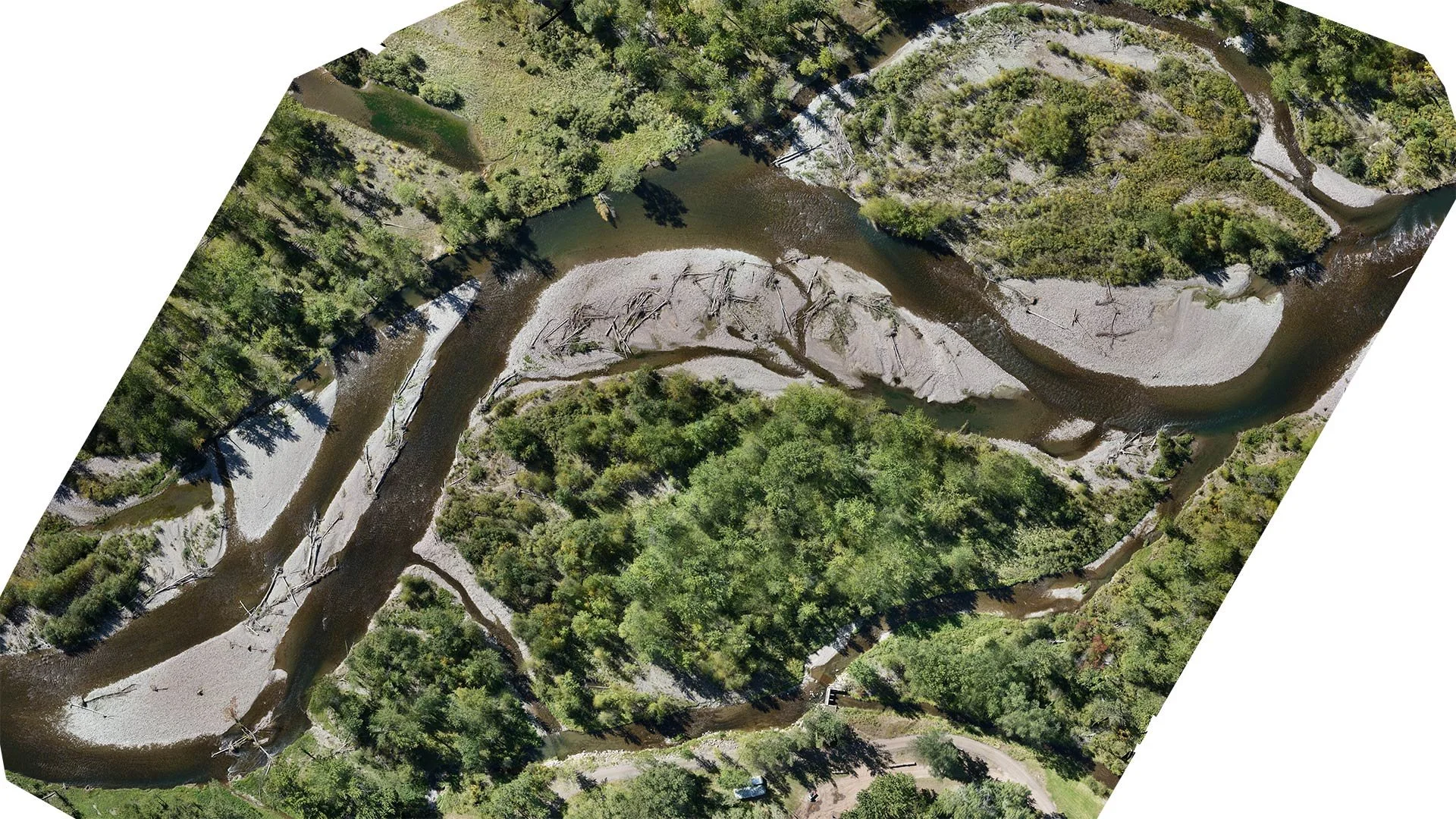
Lidar vs. Photogrammetry: Which is Best for Your Project?
Lidar is becoming a common drone payload, but is it right for your job? This article covers when to use lidar vs photogrammetry.
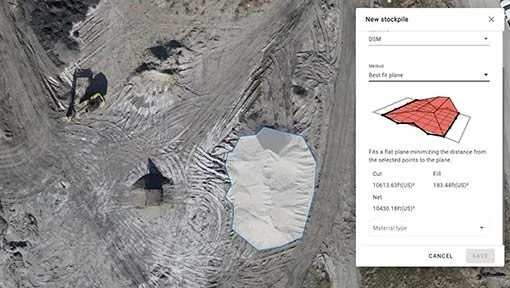
What is Volumetric Stockpile Analysis?
Factors that Impact Drone Flight Times
There are several factors that impact flight times. You should be aware of these factors when planning your mission.