Browse by Tags
- AEC drones
- Advancing Skills
- Aerial Mapping
- Aerial Mapping Drones
- Agriculture
- American drone manufacturer
- Awards
- Black Herelink
- Blue Herelink
- Case Studies
- Construction Drones
- CubePilot
- Drone payload mounting options
- Events
- Firefighting
- GSD
- Gas Detection
- Getting Started
- Hadron 640R
- Haul Road Analysis
- Herelink
- Herelink Tablet Mount
- Hyperspectral Payloads
- Industry News
- Inspection
- Inspection Drones
- Mapping
- MarkPoint
- Meda Coverage
- Media Coverage
- Methane Detection
- Mining
- News
- OGI Payloads
- OGI Scout
- Oil & Gas
- Optical Gas Imaging
- Part 107
- Partnership
- Photogrammetry
- Pix4D
- Plant Disease Detection
- Press Release
- Processing Software
- Public Safety
- QGC
- QGround Control
- RTK
- Research
- SAR
OGI: Methane Detection and UAVs Intersect with Innovation

Innovating Agriculture with Aerial Hyperspectral Imaging

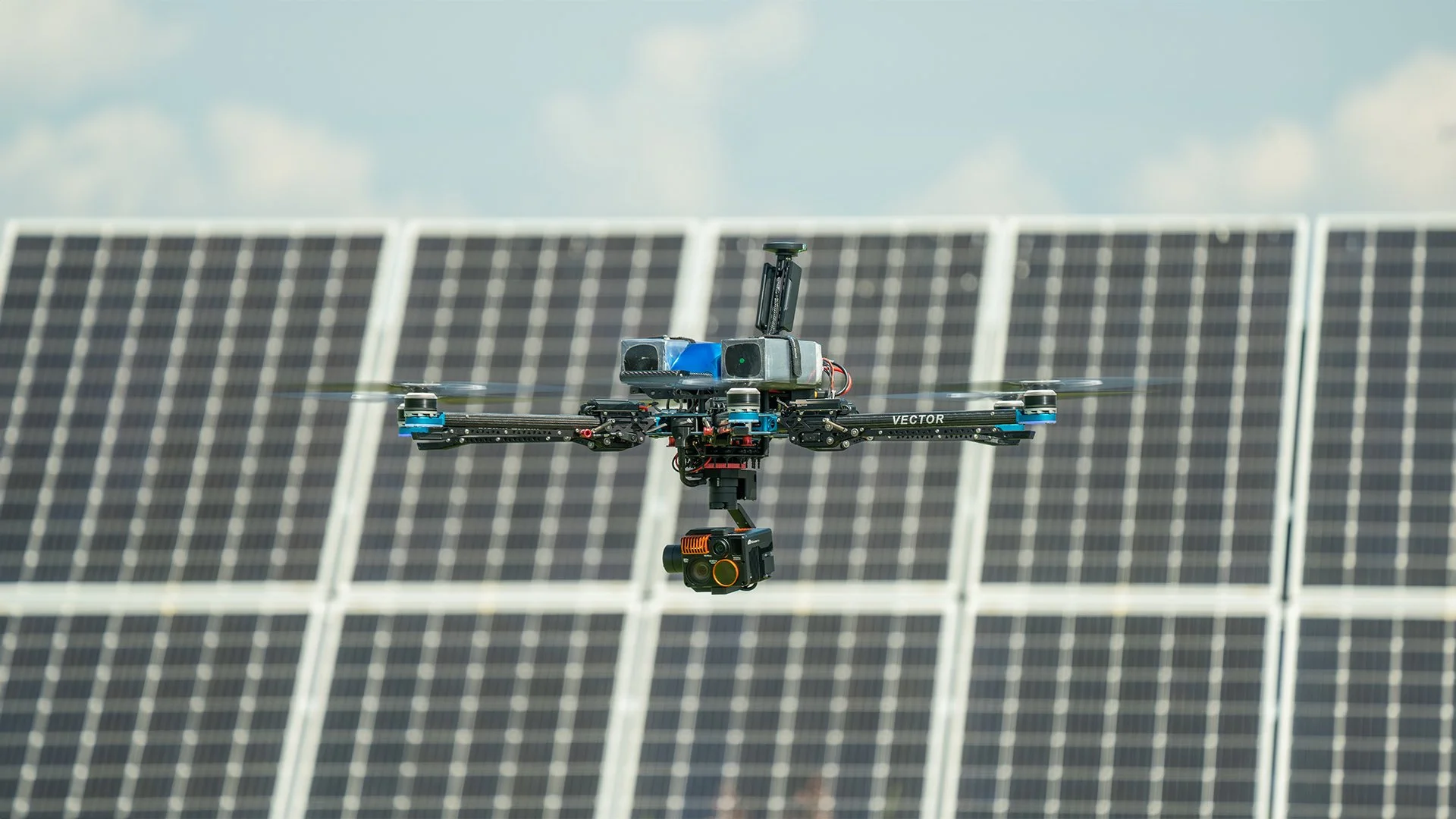
Unlocking Field Mapping Potential with UAVs and Photogrammetry
Aerial mapping with high performance cameras and photogrammetry software are improving field mapping for agriculture
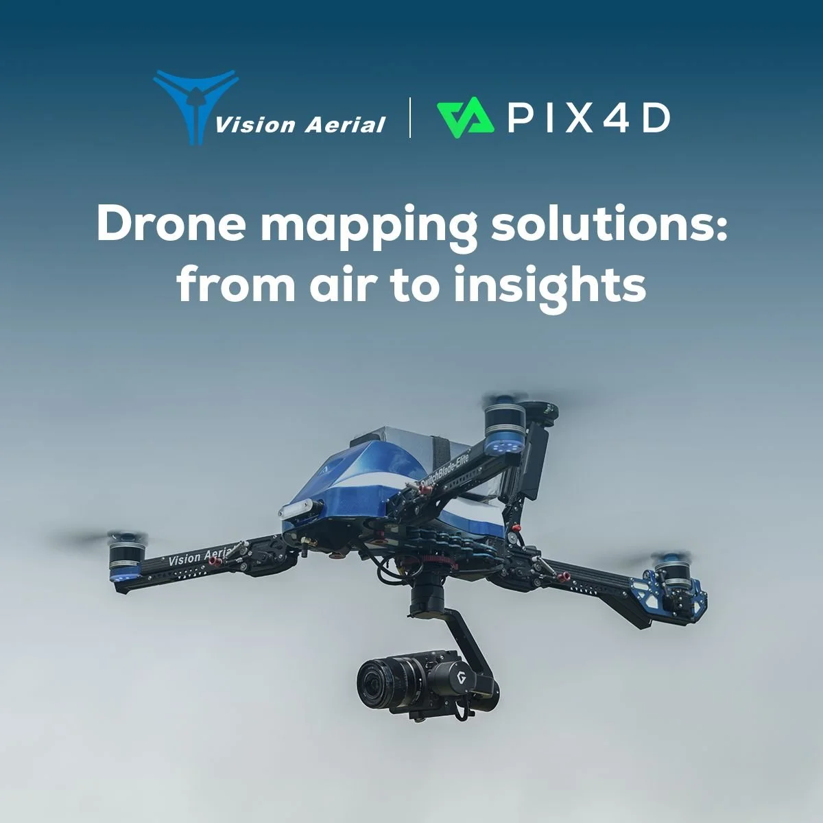
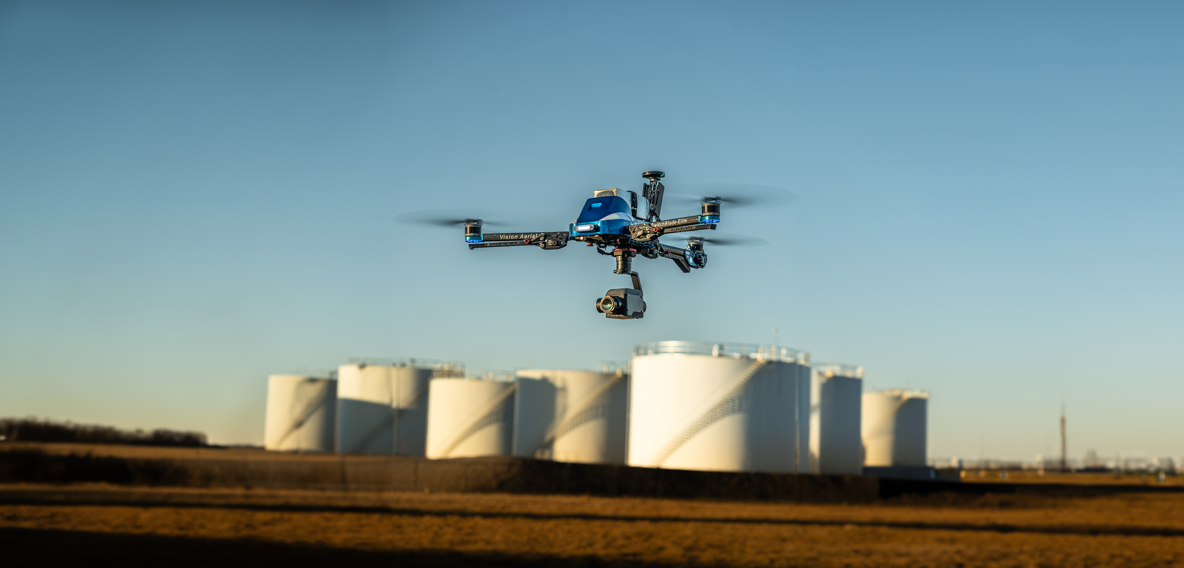
Air to Insights: Simplified with Vision Aerial + Pix4D
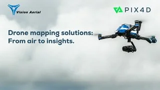
Vision Aerial and Pix4D Announce Strategic Partnership to Streamline Drone Mapping Workflows

Mapping & Inspection Drone Redefined

Vision Aerial and Frontier Precision Announce Strategic Partnership to Elevate Unmanned Technology Solutions

Herelink Tablet Mount

Hyperspectral with Vision Aerial UAS