Browse by Tags
- AEC drones
- Advancing Skills
- Aerial Mapping
- Aerial Mapping Drones
- Agriculture
- American drone manufacturer
- Awards
- Black Herelink
- Blue Herelink
- Case Studies
- Construction Drones
- CubePilot
- Drone payload mounting options
- Events
- Firefighting
- GSD
- Gas Detection
- Getting Started
- Hadron 640R
- Haul Road Analysis
- Herelink
- Herelink Tablet Mount
- Hyperspectral Payloads
- Industry News
- Inspection
- Inspection Drones
- Mapping
- MarkPoint
- Meda Coverage
- Media Coverage
- Methane Detection
- Mining
- News
- OGI Payloads
- OGI Scout
- Oil & Gas
- Optical Gas Imaging
- Part 107
- Partnership
- Photogrammetry
- Pix4D
- Plant Disease Detection
- Press Release
- Processing Software
- Public Safety
- QGC
- QGround Control
- RTK
- Research
- SAR
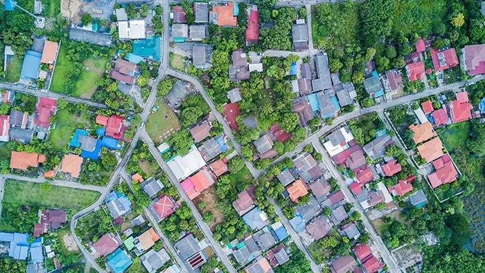
What is the Difference Between GCPs, PPK, and RTK?
This overview can help you determine which GPS correction method is best for your project.
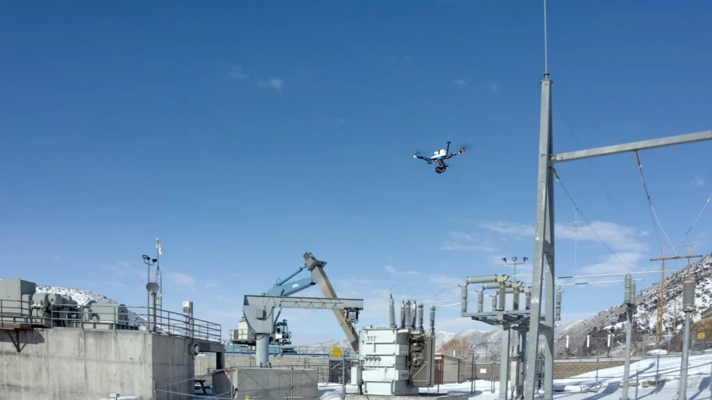
Are Drones the Future of Infrastructure Inspection?
Vision Aerial drones are great for many aerial mapping use cases — from AEC mapping to utilities mapping to border containment mapping.