Browse by Tags
- AEC drones
- Advancing Skills
- Aerial Mapping
- Aerial Mapping Drones
- Agriculture
- American drone manufacturer
- Awards
- Black Herelink
- Blue Herelink
- Case Studies
- Construction Drones
- CubePilot
- Drone payload mounting options
- Events
- Firefighting
- GSD
- Gas Detection
- Getting Started
- Hadron 640R
- Haul Road Analysis
- Herelink
- Herelink Tablet Mount
- Hyperspectral Payloads
- Industry News
- Inspection
- Inspection Drones
- Mapping
- MarkPoint
- Meda Coverage
- Media Coverage
- Methane Detection
- Mining
- News
- OGI Payloads
- OGI Scout
- Oil & Gas
- Optical Gas Imaging
- Part 107
- Partnership
- Photogrammetry
- Pix4D
- Plant Disease Detection
- Press Release
- Processing Software
- Public Safety
- QGC
- QGround Control
- RTK
- Research
- SAR
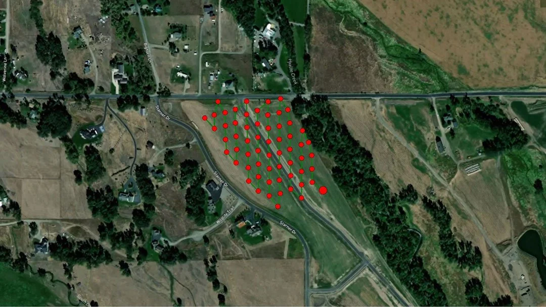
Surveying Drones: How to Use Drones for Surveying
Surveying drones can produce highly accurate topographic data faster, safer and at lower costs than a traditional land survey. This article will go into detail about how drones are used for surveying.