Browse by Tags
- AEC drones
- Advancing Skills
- Aerial Mapping
- Aerial Mapping Drones
- Agriculture
- American drone manufacturer
- Awards
- Black Herelink
- Blue Herelink
- Case Studies
- Construction Drones
- CubePilot
- Drone Design
- Drone payload mounting options
- Events
- Firefighting
- GSD
- Gas Detection
- GeoCue TV 1 Lite
- Getting Started
- Hadron 640R
- Haul Road Analysis
- Herelink
- Herelink Tablet Mount
- Hyperspectral Payloads
- Industry News
- Inspection
- Inspection Drones
- Mapping
- MarkPoint
- Meda Coverage
- Media Coverage
- Methane Detection
- Mining
- News
- OGI Payloads
- OGI Scout
- Oil & Gas
- Optical Gas Imaging
- Orthomosaics
- Part 107
- Partnership
- Photogrammetry
- Pix4D
- Plant Disease Detection
- Press Release
- Processing Software
- Promotions
- Public Safety
- QGC
Mobix Labs, Inc. announces its intent to acquire Vision Aerial, Inc.
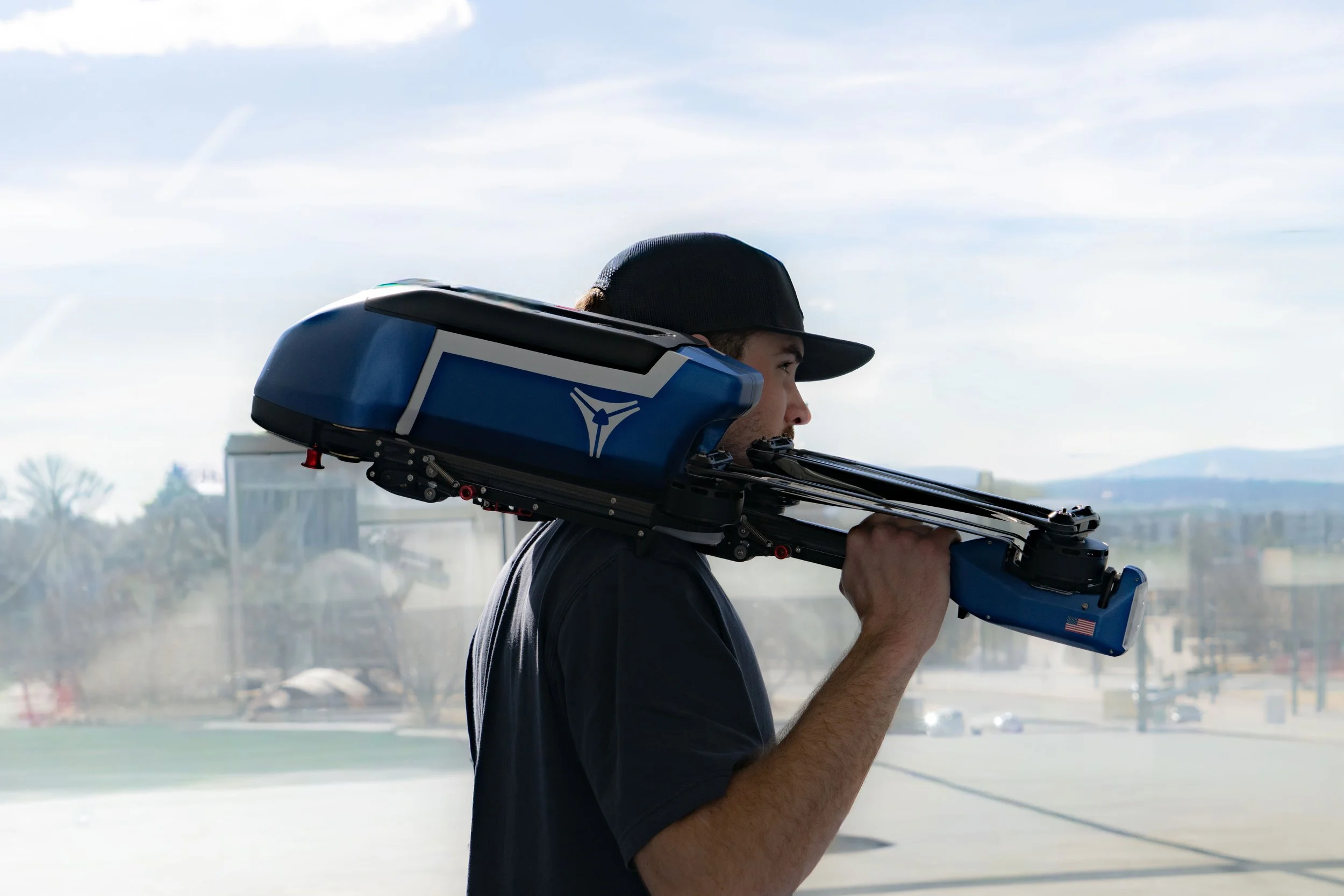
What It Feels Like to Fly a Tricopter Drone Platform
Flying a tricopter drone platform is a unique experience. You have all the same controls you are used to, but the flight feel is genuinely different in ways pilots tend to love pretty quickly. Here is what to expect on the Vision Aerial Vulcan SX and SwitchBlade-Elite.